
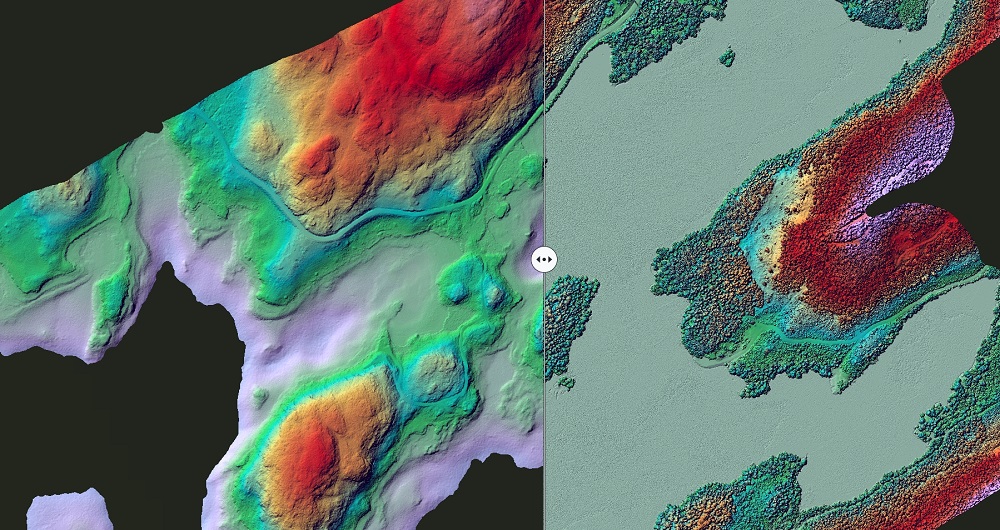
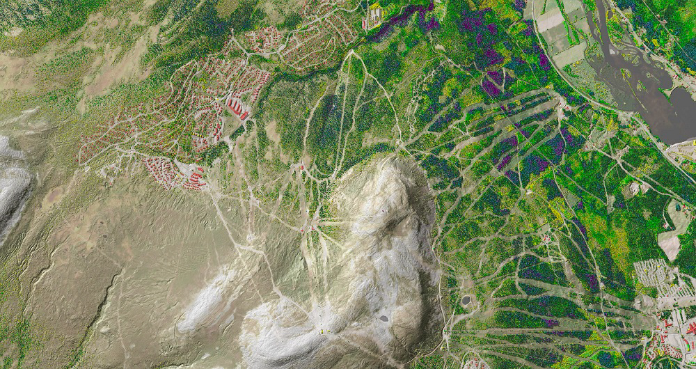
Mapping & Modelling
Field offers a broad set of geospatial mapping and data services such as urban and corridor mapping, remote-sensing based forest inventory and location-based services. We are living in a digital world where digital models of physical assets are the standard. Design, construction and maintenance are analyzed in 3D, which saves costs and increases efficiency. We have extensive experience processing geospatial data into 3D models of cities, infrastructure, buildings, terrain, and seabed.
Capabilities
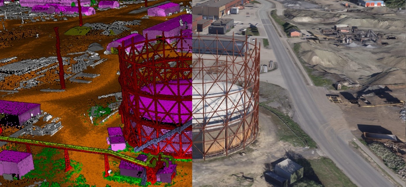
Digital twins & 3D models
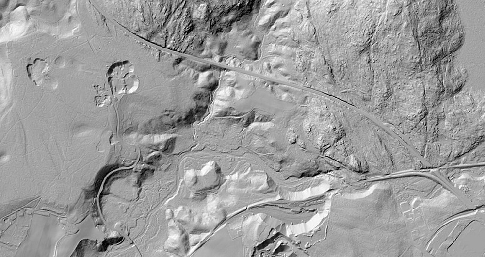
Terrain models
Point clouds
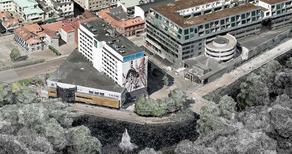
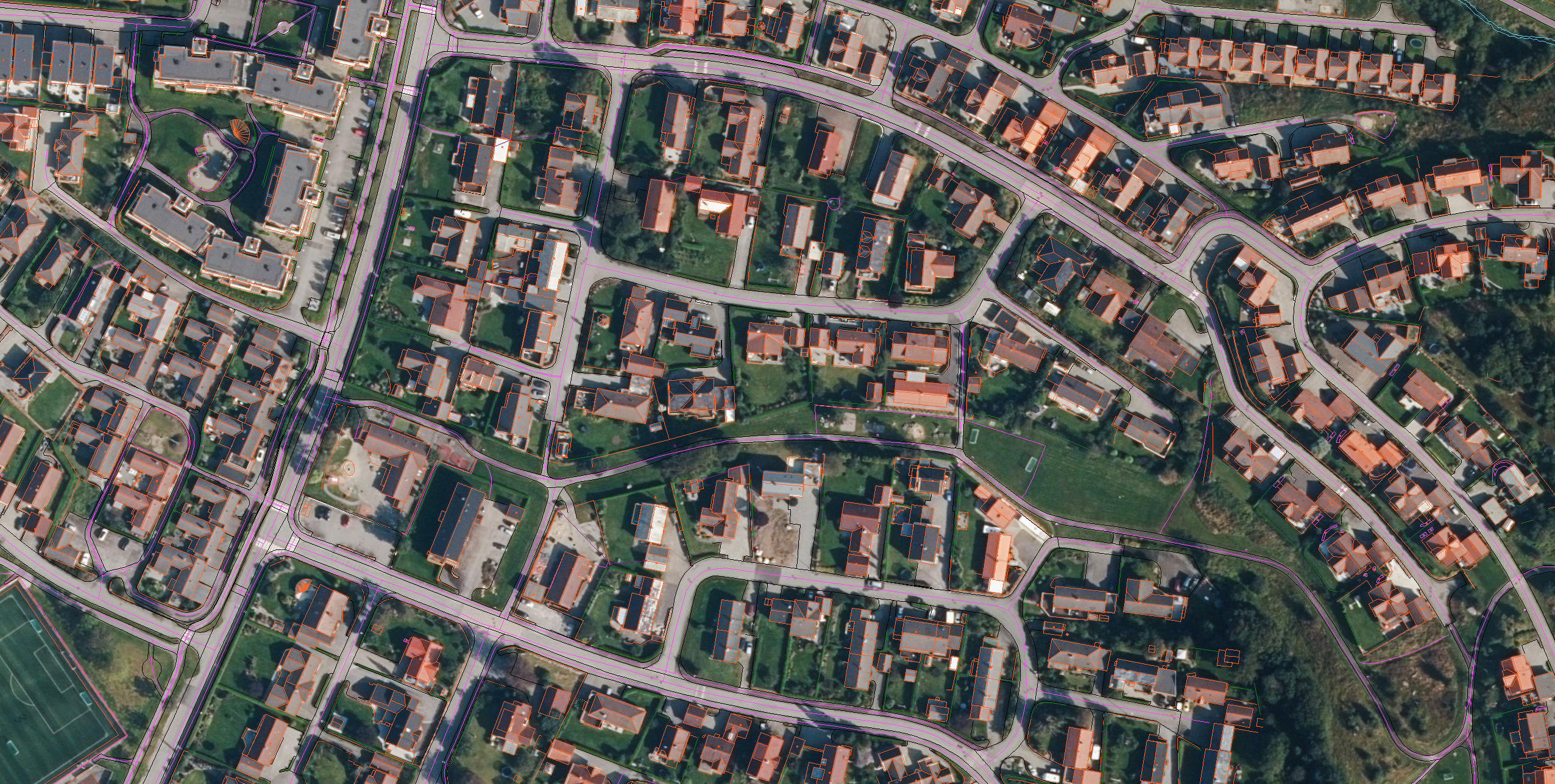
Mapping
Analysis
Forest inventory
Get in touch
Other services
Aerial Surveying
Field has a history of aerial surveying dating back to the 1950s. We offer high-quality sensor services that deliver accurate data for digital products and decision making. Our unique competency and our fleet of ultramodern aircraft and sensors can meet even the most challenging project requirements. We have our own line of unmanned aerial surveying systems and also partner with local service providers worldwide.
Land & Property Consultancy
Field’s land and property specialists provide services in the cadaster, land acquisition and building application services. Our customers are mostly government departments and municipalities. We have a highly skilled team ready to help you with land and property services in Norway.
Land Surveying
Land surveying plays a critical role in the planning and execution phase for most infrastructure and construction projects worldwide. Land surveying ensures the accuracy between digital models and the physical world. The land surveying technique determines the accurate geographical three-dimensional position of points and the distances and angles between them. Our team has extensive experience delivering land surveying services for governments, businesses, and private individuals, predominantly throughout Norway but also in Sweden and Finland.
Mobile Mapping & Geophysics
With laser scanners mounted on a car, we can acquire millions of points per second. This very detailed point cloud is used for creating 3D vector models and it is a basis for producing a TIN-model for advanced applications. At the same time with scanning, images and video can be captured. The images are 360-degree street view imagery that can be accessed and used in a separate web viewer, Mapspace. We can also collect information about road conditions and map utilities, groundwater and bedrock using ground penetrating radar.
Software
Field offers a suite of software products that bring value to customers and partners worldwide. Our cloud-based software products help our customers easily access and use their data. Our software products support external data sources like WMS/WMTS or local vector data to empower you accurately and provide valuable insights online.
We’re here to answer your questions
Contact us to discuss how we can help you and your organization plan, build and manage safe and efficient natural and built environments.